Geocoding API
Geocoding API
TLDR
- Convert city names to precise latitude/longitude coordinates with a single API call.
- 100 free queries per month. No credit card.
Here's a sample response:
[
  {
    "name": "New York",
    "state": "New York",
    "country_code": "US",
    "coordinates": {
      "latitude": 40.7127281,
      "longitude": -74.0060152
    }
  }
]
❓ What is this?
A REST API that converts city names into geographic coordinates. Send a city name, get back latitude and longitude.
Perfect for mapping apps, logistics, delivery services, and location-based features.
❓ Why use it?
1. Free Plan
100 queries per month. Free. No credit card required.
2. Simple Pricing
Many geocoding APIs are pay-as-you-go. That gets confusing fast.
Our plans are simple and predictable:
- $16 gets you 3K queries/month
- $48 gets you 15K queries/month
- $148 gets you 75K queries/month
3. 99.99% Uptime SLA
If your app depends on location, downtime is not an option.
We guarantee 99.99% uptime.
❓ How to use it?
Simple REST API. Here's how it works:
-
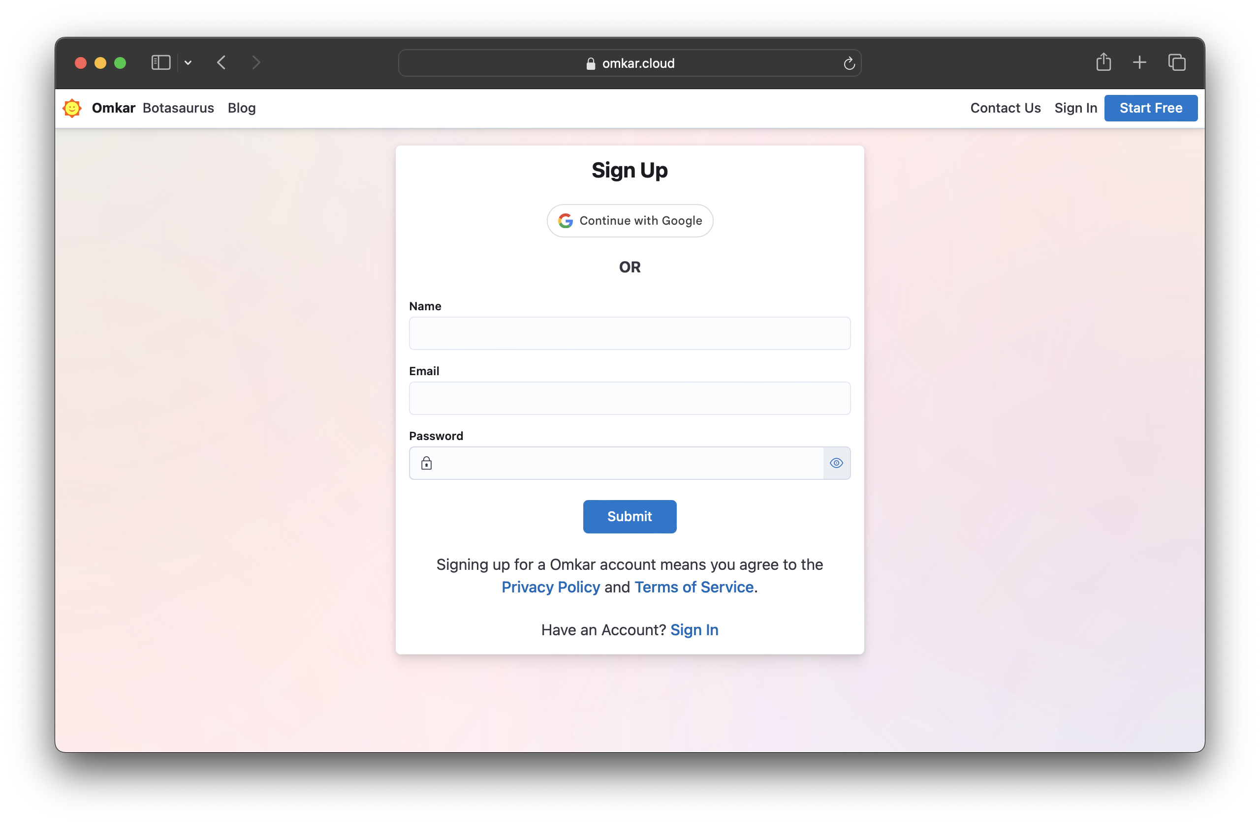
Sign up on Omkar Cloud by visiting this link.
-
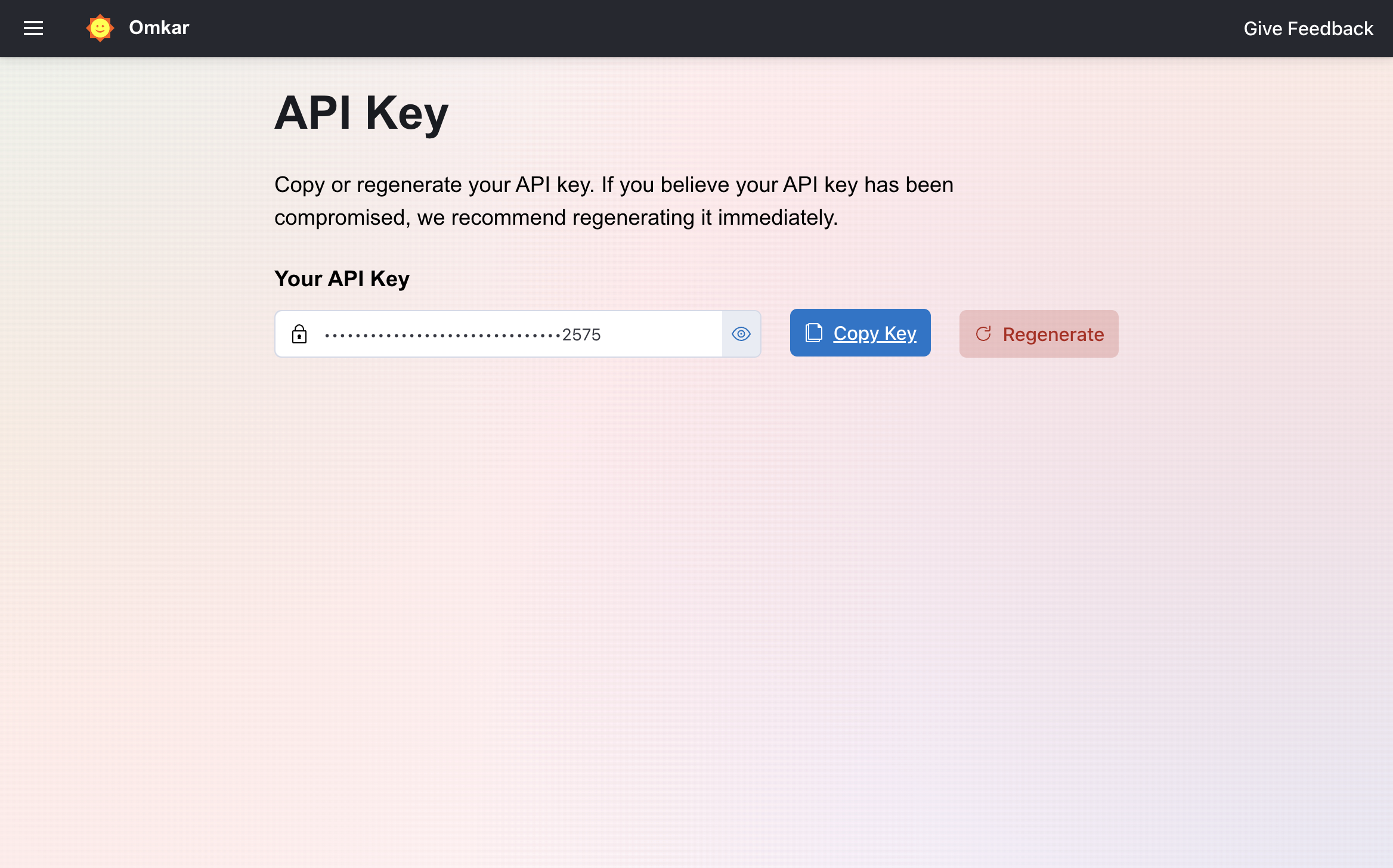
Visit the API Key Page.
-
Copy your API key.
-
Make a request:
cURL:
curl -X GET "https://geocoding-api.omkar.cloud/geocode?city=New%20York" \
  -H "API-Key: YOUR_API_KEY"
Python:
import requests

api_key = "YOUR_API_KEY"

response = requests.get(
    "https://geocoding-api.omkar.cloud/geocode",
    params={
        "city": "New York",
    },
    headers={"API-Key": api_key}
)

data = response.json()
print(data)
JavaScript (Node.js):
import axios from "axios";

const apiKey = "YOUR_API_KEY";

const response = await axios.get("https://geocoding-api.omkar.cloud/geocode", {
    params: {
        city: "New York",
    },
    headers: { "API-Key": apiKey }
});

console.log(response.data);- Get your coordinates and use them.
That's it. Location data in seconds.
API Reference
Endpoint
GET https://geocoding-api.omkar.cloud/geocode
Parameters
-
city (required, string):
The city name you want to geocode. -
state (optional, string):
State/region to disambiguate cities with the same name. -
country_code (optional, string):
Two-letter ISO country code. Examples: "US", "GB", "JP".
Response
Returns an array of matching locations with coordinates:
[
  {
    "name": "New York",
    "state": "New York",
    "country_code": "US",
    "coordinates": {
      "latitude": 40.7127281,
      "longitude": -74.0060152
    }
  }
]
❓ What data does the API return?
For each matching location, you get:
- name — City/place name
- state — State or province
- country_code — Two-letter ISO country code
- coordinates — Latitude and longitude
❓ How accurate is the data?
Our coordinates are sourced from authoritative geographic databases.
Accuracy is within meters for city centers.
❓ What if multiple cities have the same name?
The API returns all matching locations. For example, searching for "New York" without filters returns:
- New York, New York, US
- New York, Texas, US
To narrow results, send state and/or country_code.
❓ Tell me about Omkar Cloud.
We're an API services company with 20+ tools for OCR, document processing, and developer APIs. Some things we are proud of:
- Built Botasaurus, an open-source automation framework with 3.7K+ GitHub stars
- Sponsored by 1000+ developers on GitHub
❓ How much does it cost?
- Free — $0 — 100 queries/month
- Starter — $16 — 3,000 queries/month
- Grow — $48 — 15,000 queries/month
- Scale — $148 — 75,000 queries/month
Why we're affordable: Low overhead. We run lean and pass the savings to you.
Note: You get 100 free queries every month.
❓ How do I get a refund?
If the product doesn't meet your needs within 90 days, get a refund in 2 clicks.
-
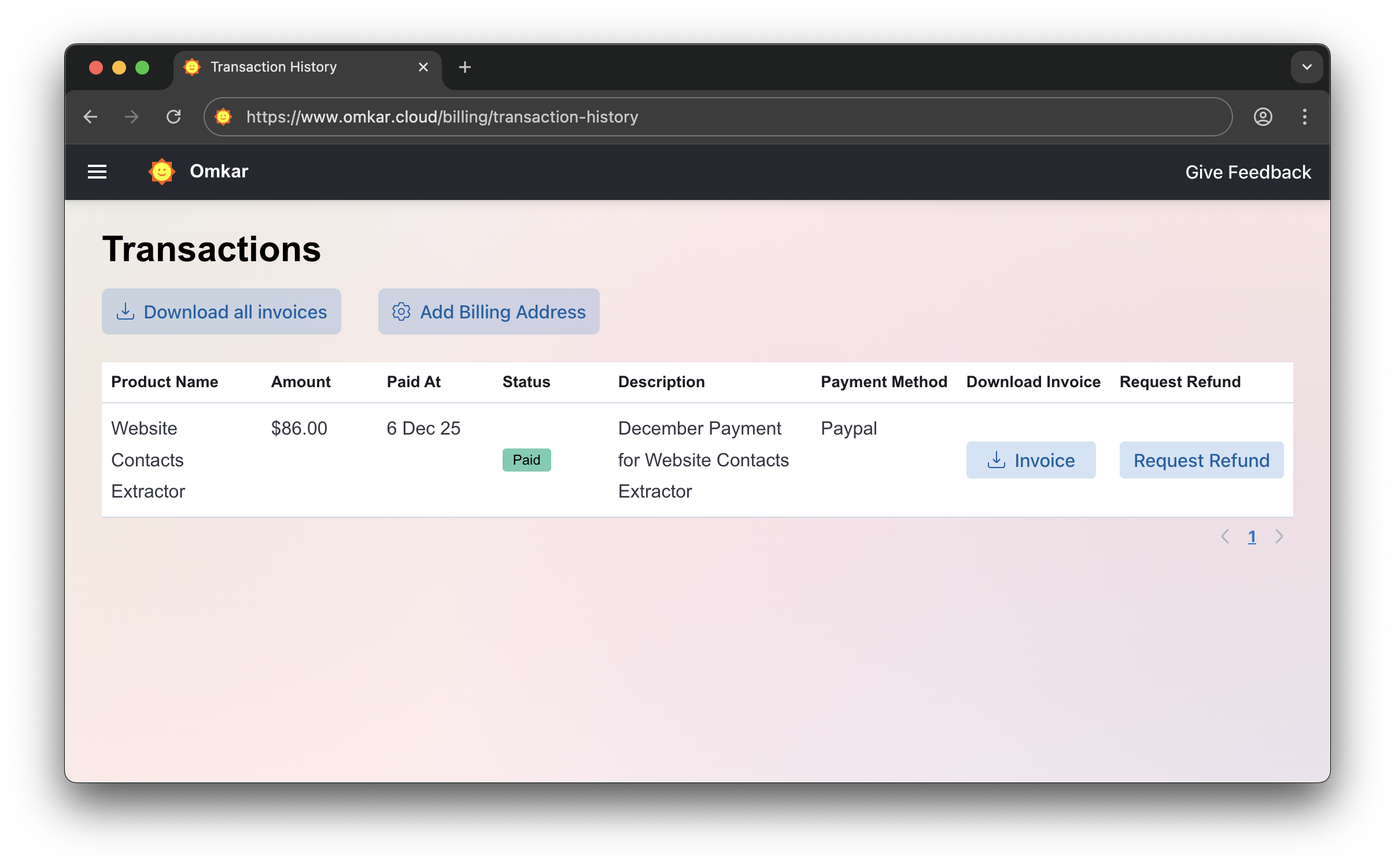
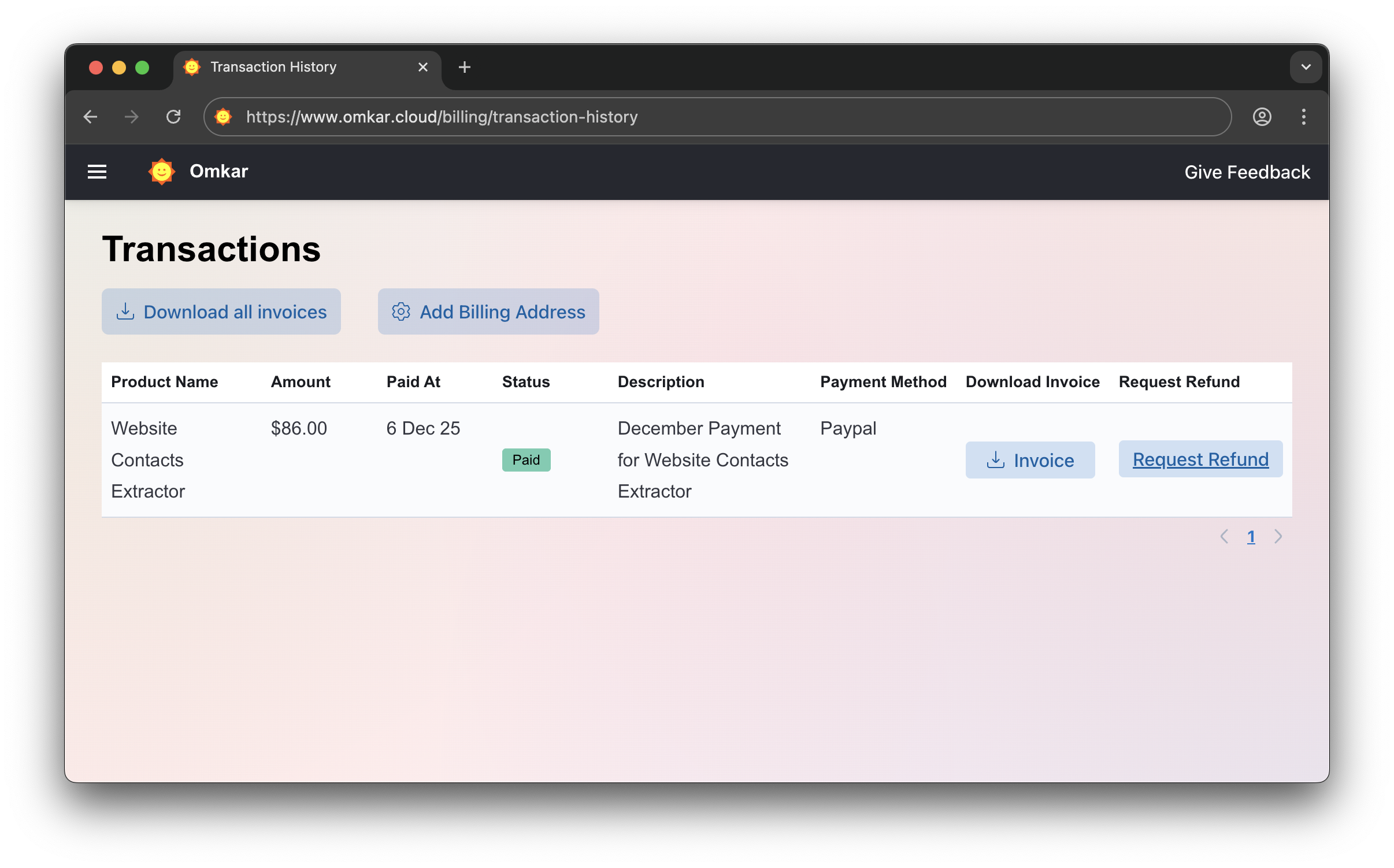
Go to Transactions Page
-
Click "Request Refund"
-
Confirm by clicking Request Refund again. The amount will be refunded within 1-2 business days. We’ll email you updates.
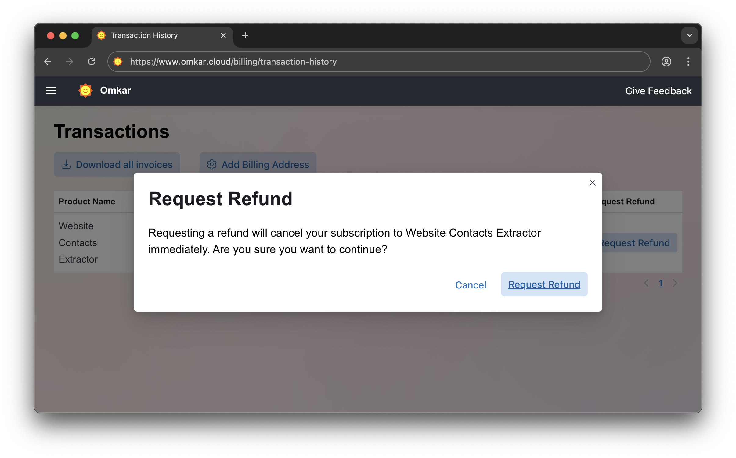
No emails. No explanations. Simple 2-click process.
❓ Is there a catch in refunds?
No catch. It's a simple 2-click process, just as described above.
Questions? We have answers.
Reach out anytime. We will solve your query within 1 working day.